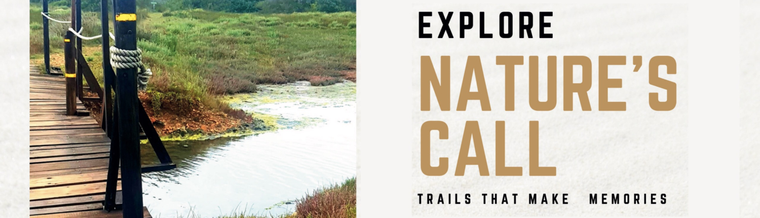
Kabeljous Nature Reserve
Jeffreys Bay, Eastern Cape, South Africa
Length3–7 km
Elevation gain54 m
Estimated time1–1.5 hr
Route typeLoop
The Kabeljous Nature Reserve is located north of Jeffreys Bay and offers the visitor a 3.5 km coastline complete with dune thickets, forests, bushveld, and wetlands. For the avid hiker, there are various 3–7 km walks where you may be lucky enough to see bushbuck, duiker, bushpig, grysbok, caracal, mongoose, or even some of the 100 species of birds that are found in the reserve.
- Coastal
- Forest
- Wetlands
- Birding
- Wildlife
- Picnic area
Conservation value
The area contains irreplaceable, one-of-a-kind biodiversity, with at least 16 plant species of special conservation concern; an endangered ecosystem type known as Humansdorp Shale Renosterveld; and five bird species of special conservation concern, including the highly endangered Black Harrier.
Facilities & walks
A picnic area is available at the estuary.
A team of dedicated volunteers maintain this beautiful reserve, and the very popular sunset / moonrise walks are held on a regular basis as a fundraising project.
Getting there
Get directions
-33.99259, 24.93009
JBay Zebra Lodge Trail
Thornhill, between Jeffreys Bay and Gqeberha, Eastern Cape
Length5 km or 8 km
Elevation gain± 200 m
DifficultyEasy
Route typeLoop
Set on a game farm just outside Jeffreys Bay, the JBay Zebra Lodge trails let you walk among free-roaming wildlife with views over indigenous bush towards the Indian Ocean. Choose between two loops — the red route and the blue route — both starting and finishing at the lodge.
The path drops down the hill into shady thicket where tortoises and sunbirds are often spotted, before climbing back to the open grassy slopes near the lodge, where herds of zebra like to gather and graze.
- Wildlife
- Zebra
- Birding
- Bushveld
- Ocean views
- Family friendly
Good to know
The trails are marked, but they link into a larger network that is also popular with mountain bikers, so a GPS or trail app is handy at junctions to make sure you stay on lodge property. It can get hot in the bush — bring water, sun protection and binoculars.
Round off your walk with breakfast at the lodge restaurant while the zebra graze outside.
Bookings & permits: contact JBay Zebra Lodge on 078 925 6812 before you go.
Getting there
Get directions
442 Strandfontein, alongside R102 (Old Cape Road), Thornhill
Noorsekloof Trail
Noorsekloof Nature Reserve, Jeffreys Bay, Eastern Cape
Length± 2 km one way
DifficultyEasy
Bird species± 50
Route typePoint to point
Hidden in the heart of Jeffreys Bay, the Noorsekloof Nature Reserve has been a protected conservation area since 1984. A green ribbon of indigenous forest winds through the kloof, and the trail follows the stream along its floor — a peaceful escape just minutes from the beach and town centre.
The path runs between the Dogwood entrance and the Leadwood entrance (at the farm gate). It is mostly level and easy going, with a few rougher patches along the way, making it a lovely outing for families.
- Forest
- Stream
- Birding
- Small buck
- Family friendly
- In town
Wildlife
Close to 50 bird species have been recorded in the kloof. Keep an eye out for the Knysna Turaco (Loerie), Knysna Woodpecker and African Paradise Flycatcher, as well as small antelope moving quietly through the undergrowth.
The reserve is cared for by local residents who work to preserve the kloof and its adjoining green belts. Please stay on the path, respect the wildlife, and be considerate of the homes that border the trail.
Getting there
Get directions
Entrances on Dogwood and Leadwood, Jeffreys Bay
Swart River Trail
Seekoei River Nature Reserve, between Aston Bay and Paradise Beach, Eastern Cape
Length1–3 km
DifficultyEasy
Bird species120+
Route typeLoop
Just 5 km south of Jeffreys Bay, the Seekoei River Nature Reserve sits on the estuary where the Swart River and the Seekoei River meet. The 66-hectare reserve is made up mainly of thicket with patches of fynbos, and makes for a quiet, scenic walk between the coastal villages of Aston Bay and Paradise Beach.
The main 3 km trail begins with a crossing of the river by pontoon, then winds through fynbos and subtropical vegetation. For a shorter outing, a 1 km walk through the northern section passes a bird hide overlooking the estuary.
- Estuary
- River crossing
- Bird hide
- Fynbos
- Wildlife
- Braai area
Wildlife
The reserve is rich in birdlife, with more than 120 species recorded — the lagoon is home to waterbirds such as red-knobbed coots. On land, look out for bushbuck, grysbok, blue duiker, bushpig, porcupine, caracal, and yellow and grey mongoose.
A braai facility is available in the reserve. For more information, contact the reserve on 042 292 0339.
Getting there
Get directions
Between Aston Bay and Paradise Beach, ± 5 km from Jeffreys Bay
Dolphin Beach Walk
Main Beach, Jeffreys Bay town centre, Eastern Cape
TerrainSand
DifficultyEasy
Best timeSunset
Route typeOut & back
Dolphin Beach is Jeffreys Bay’s main stretch of golden sand, right in front of the town centre and just a short stroll from the shops and restaurants. It’s an easy, relaxed walk along the edge of the warm Indian Ocean — perfect for a morning wander, a family outing, or an evening stroll as the sun goes down.
The beach earns its name honestly: pods of bottlenose dolphins are often spotted moving through the waves, especially towards sunset. Keep your eyes on the water, and look out for surfers catching the gentle beach breaks that make this a favourite spot for learners.
- Beach
- Dolphins
- Shell collecting
- Family friendly
- Lifeguards
- Cafés nearby
Along the way
Stop for a photo with the giant dolphin statue, collect some of J-Bay’s famous seashells, or let the kids loose at the beachfront mini-golf and waterslides. When you’re done, some of the town’s best cafés and eateries are only a few steps from the sand.
Dolphin Beach is patrolled by lifeguards, making it one of the safest spots in town for a swim after your walk.
Getting there
Get directions
Beachfront, central Jeffreys Bay
Kromriviermond Walk
Kromme River Mouth, St Francis Bay, Eastern Cape
TerrainSand & salt marsh
DifficultyEasy
Best timeLow tide, evening
Route typeOut & back
Where the Kromme River meets the Indian Ocean on the northern side of St Francis Bay, a wide, peaceful estuary opens up into sandbanks, salt marsh and beach. This easy walk follows the river towards its mouth, with golden light on the water in the late afternoon and wide views across the lagoon to the sea.
From the parking area you can wander downriver along the salt marsh, and at low tide large stretches of mudflat and sandbank are exposed — perfect for slow, quiet exploring. The estuary is a popular spot for walking, fishing and kite surfing, and makes for a magical sunset outing.
- Estuary
- Beach
- Birding
- Sunset
- Kite surfing
- Fishing
Birding
The Kromme River Estuary is known as one of the premier wader-watching sites in Southern Africa. In summer, huge numbers of migrant waders arrive, including Bar-tailed Godwits, Whimbrels, Greenshanks, Little Stints and several plover species. A large tern roost often gathers right at the river mouth, and the thickets along the estuary edge hold the sought-after Knysna Woodpecker.
Tip: time your walk for the evening at low tide — the setting sun lights up the sandbanks and makes the birds much easier to spot and identify. Check tide times before you go, and avoid swimming in the estuary itself.
Getting there
Get directions
Follow Lyme Road North and the signs to the Kromme River Mouth
Other Surrounding Hikes
More trails, bush walks and sanctuaries to explore in the greater Kouga area.
African Dawn Wildlife and Bird Sanctuary
African Dawn is a registered NPO (2015/055934/08) dedicated to rescuing orphaned, injured and sick birds and wildlife in South Africa, and providing them with a safe haven to live out their lives to their full potential.
3Rivers Trails
Several dedicated hiking trails, catering for different levels of experience and fitness across a variety of landscapes.
Simbonga Game Reserve & Sanctuary
Each guided bush walk / hike is unique to the guests. Different routes, different sightings and different pit stops along the way.
Chokka Trail
Three picturesque fishing villages, a rugged coastline, sand dunes as far as the eye can see, a tidal river, protected fynbos, wetlands, and a visit to South Africa’s only privately owned working harbour. These are some of the ingredients that make up the Chokka Trail, a 62 km slackpack hiking holiday between Oyster Bay, St Francis Bay and Cape St Francis.

FOLLOW US

